Hidden Groundwater Flood Peril Uncovered By Groundbreaking Research From Geosmart
GeoSmart Information (GeoSmart), a leading UK flood data and analytics specialist, has released new data following a decade of development, which reveals the full risk of flooding in Great Britain (GB) and highlights the complex role of groundwater for the first time.
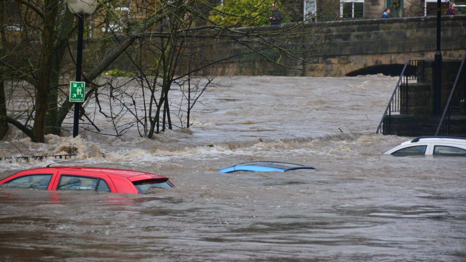
GeoSmart’s ground-breaking analytics tool is the first to model all main sources of flooding, including river, flash flooding, tidal; crucially now including groundwater, on a consistent national basis. Despite groundwater being responsible for about £200M in flood losses annually – more than the annual losses from tidal flooding – the hidden risk of groundwater has been little understood until now.
Prior to GeoSmart’s analysis, there have been no reliable national maps of the real risk of groundwater flooding within the context of overall flood risk. Using its flood modelling tool FloodSmart Analytics, GeoSmart estimates average annual damage from flooding of around £1.5Bn, with detailed risk analysis of individual properties now available.
Dr Paul Ellis, Managing Director of GeoSmart Information, said: “With these findings – which are the results of 10 years of research and development – homeowners and insurers can now see the risk from all sources of flooding, including groundwater, at high resolution down to individual property level, which will help them to prevent, mitigate, and guard against the risks far more effectively.”
Phillip Martin, Director of Risk at GeoSmart said: “Groundwater forms an important piece of the flooding jigsaw. Integrating it consistently into flood modelling provides a much clearer and more accurate picture of risk (and explains the contribution from each mechanism at property level) – something that will be welcomed by insurers, homeowners, and business owners alike.
Geosmart’s model shows that groundwater flooding threatens about 5% of all homes in GB, located in groundwater hotspots including Lincolnshire, Yorkshire, Hampshire, Dorset, Wiltshire, Oxfordshire, Kent, Surrey, London, and elsewhere (a similar number to those threatened by river flooding). Groundwater also drives risk from flash flooding and rivers in ways that increase those risks in certain locations. The GeoSmart analysis provides the necessary insight to improve flood risk management both related to baseline risk and also climate change, with climate change data due for release shortly.
This new data, combining all sources of flooding, can now be accessed through automated reports, national licensing, or via an API or web portal to help insurers and homeowners mitigate their flood risk.